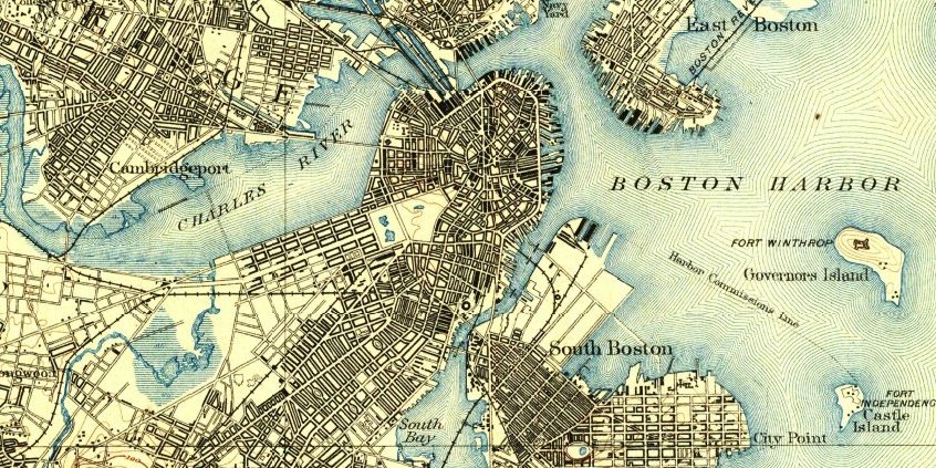
United States > Massachusetts > Greater Boston > City of Boston

Airplane noise issues
16 neighborhoods
Boston Proper
13 neighborhoods

Green Line extension
4 neighborhoods
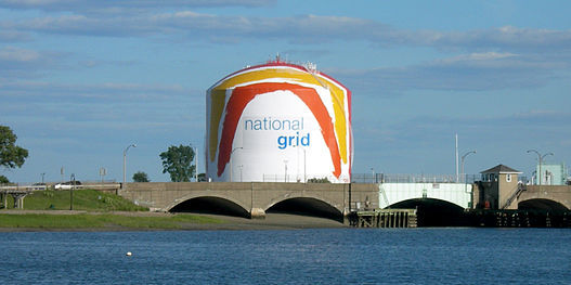
LNG fire risk
14 neighborhoods
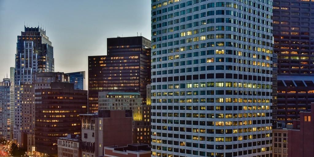
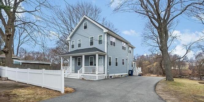
Most expensive neighborhoods
20 neighborhoods
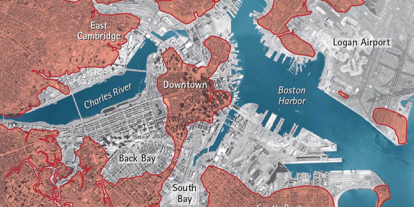
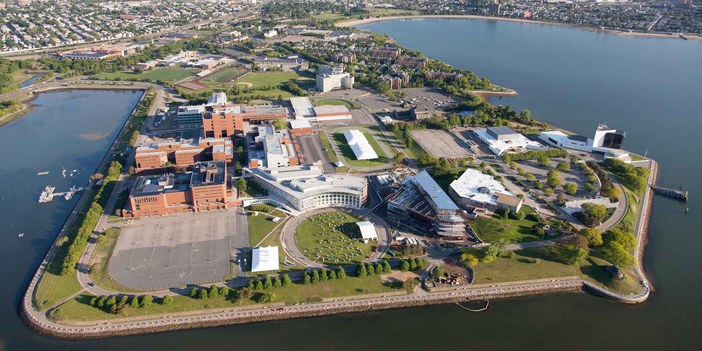
Reclaimed/infilled land
17 neighborhoods
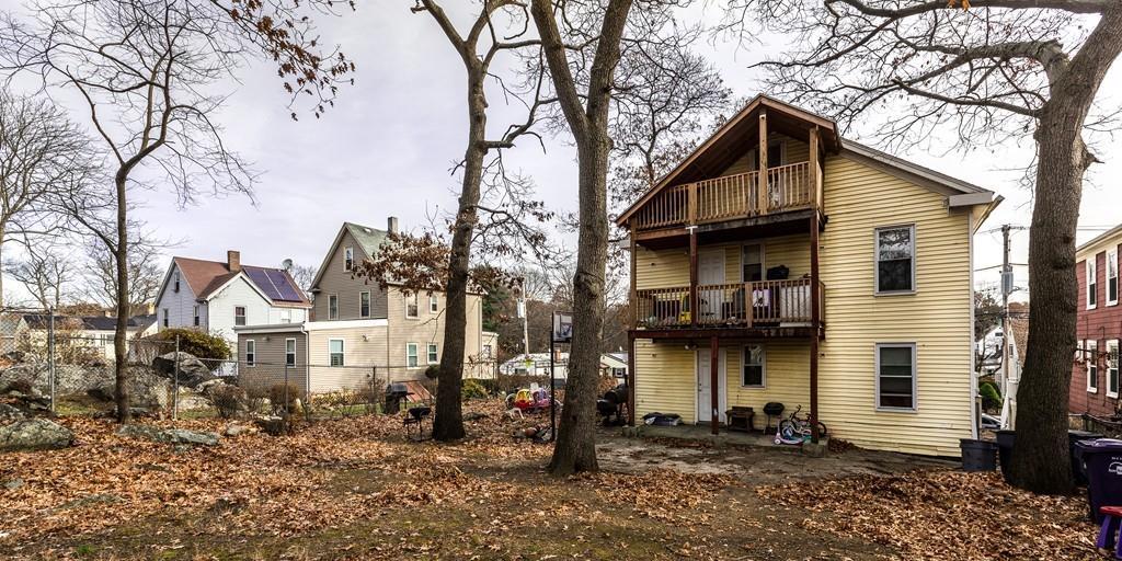
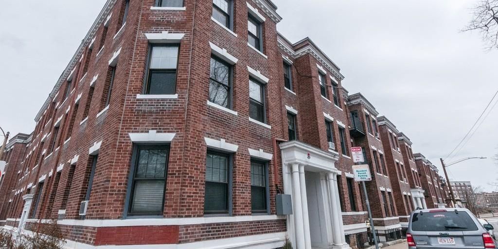
Significant public housing
14 neighborhoods
Suburbs-in-the-city
15 neighborhoods


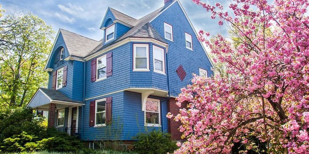
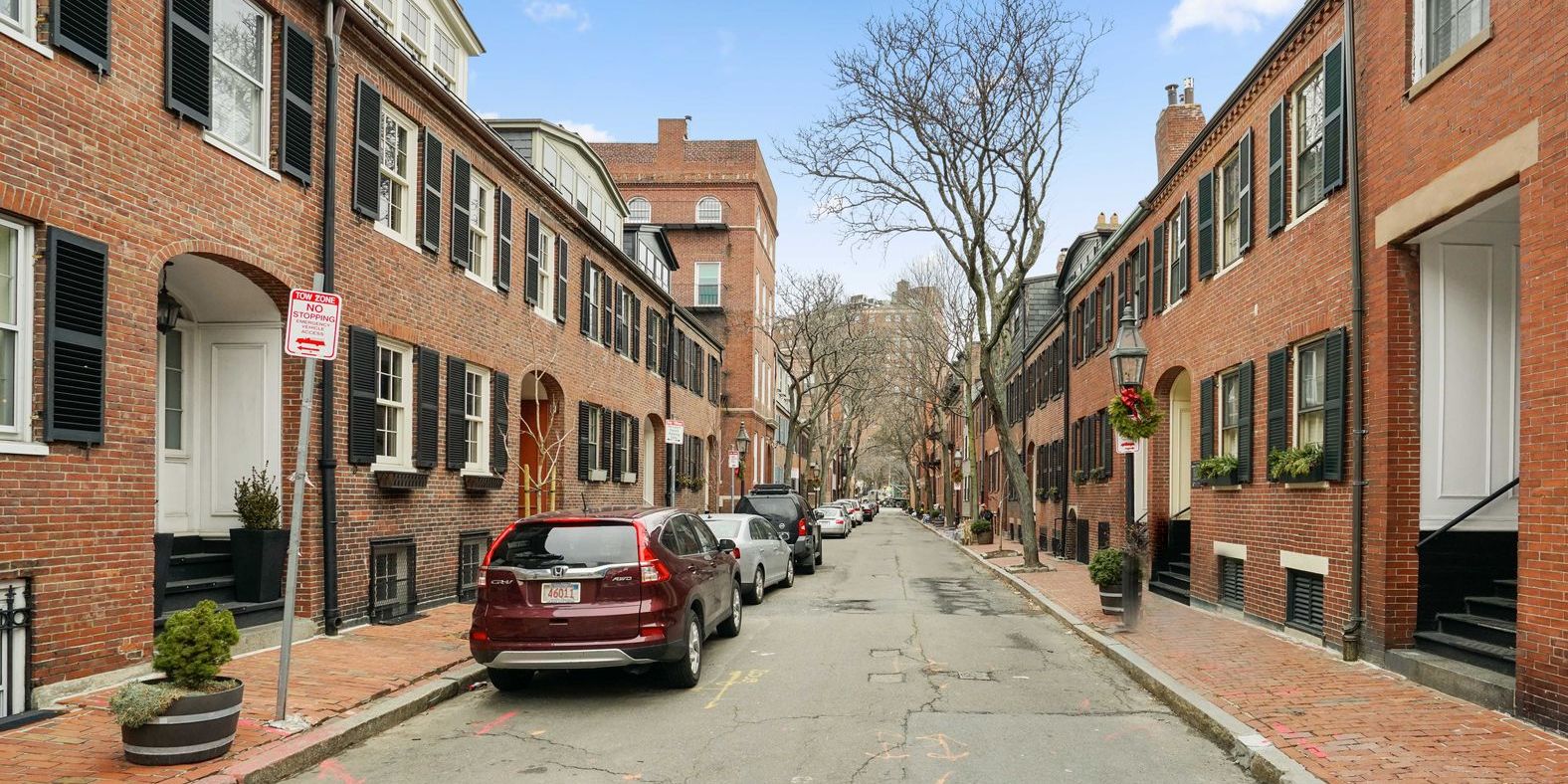
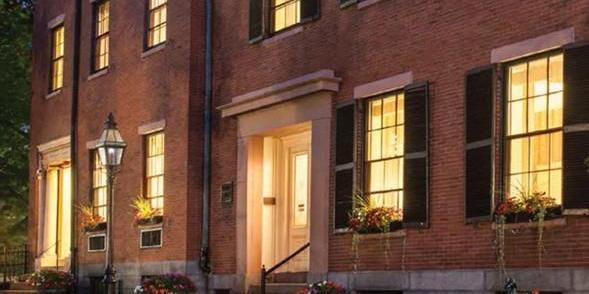
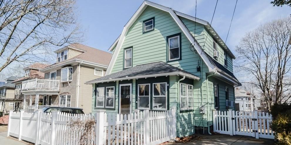
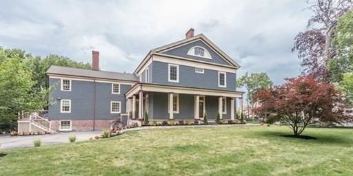
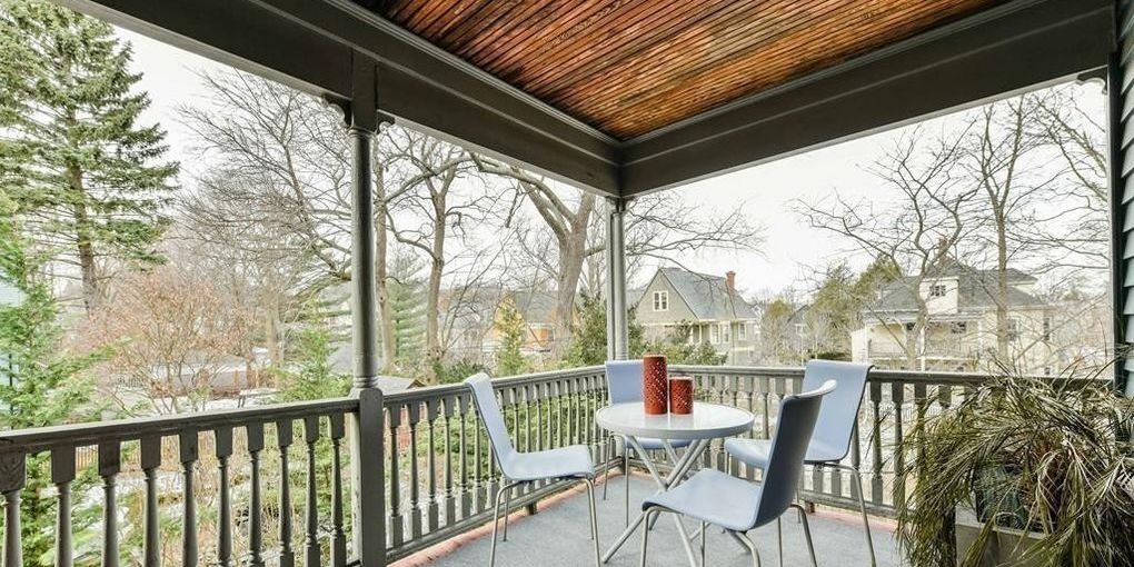
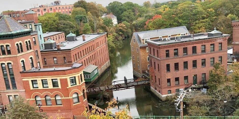
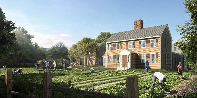
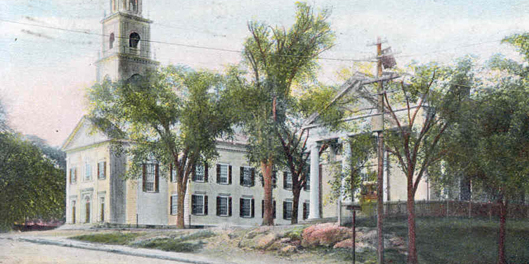
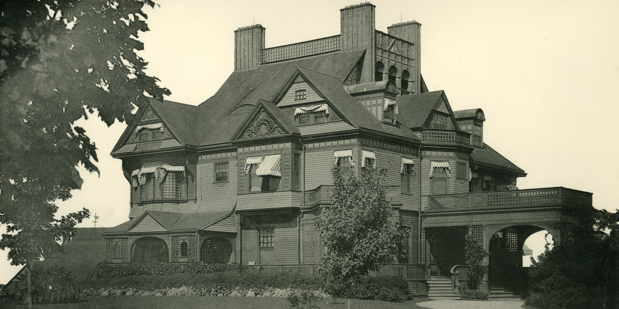
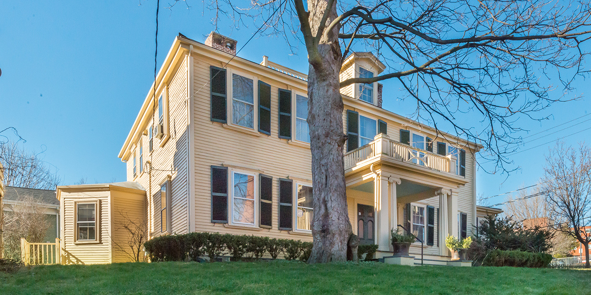
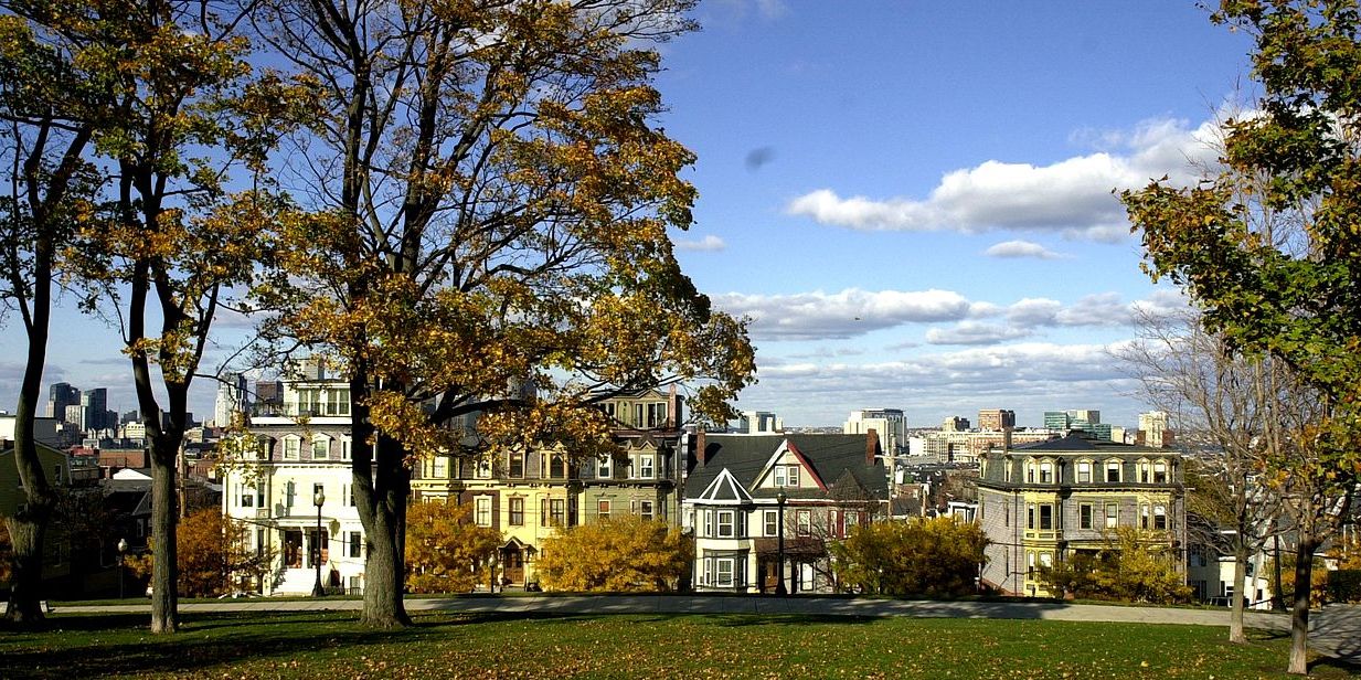
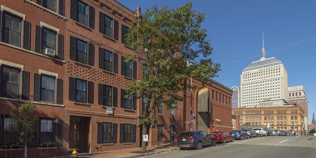
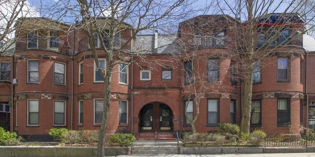
Four centuries of architecture. Most people think of Beacon Hill as the oldest neighborhood in Boston, but it is a relative latecomer when it began to be developed in the 1790s. Boston was settled in 1630, and most of the city life was concentrated in the North End, West End, and Downtown Crossing. However, the North End has only a few buildings surviving from this period, including the Paul Revere House (built 1680), and most of the neighborhood was redeveloped in the 1800s. Meanwhile, the West End was demolished during the 1960s urban renewal, and 65 acres of downtown Boston – including Downtown Crossing – were burned in the Great Fire of 1872. And while Charlestown was founded in 1629, most of the early buildings were burned in the 1775 Battle of Bunker Hill. While occasional pre-Revolution buildings survive in almost every neighborhood, a new neighborhoods contain a greater concentration. Dorchester (founded 1630, just before Boston) contains the oldest surviving buildings in Boston, and many historic houses can be found in Jamaica Plain and Roxbury.
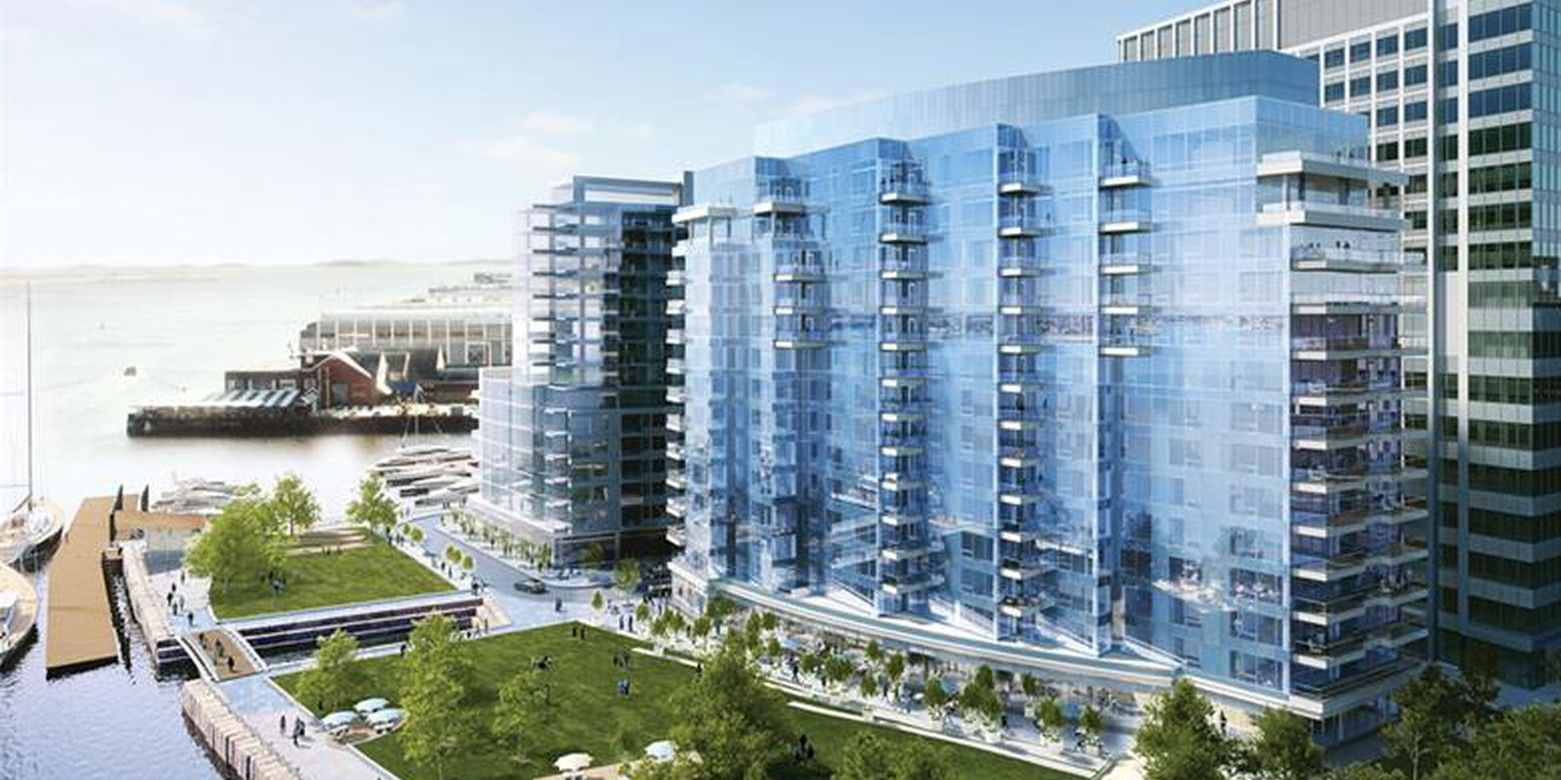
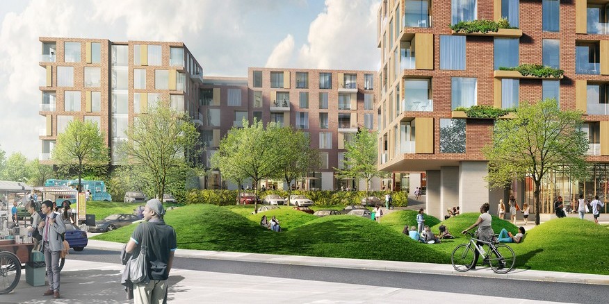
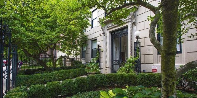
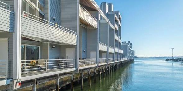
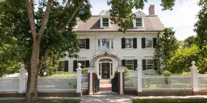
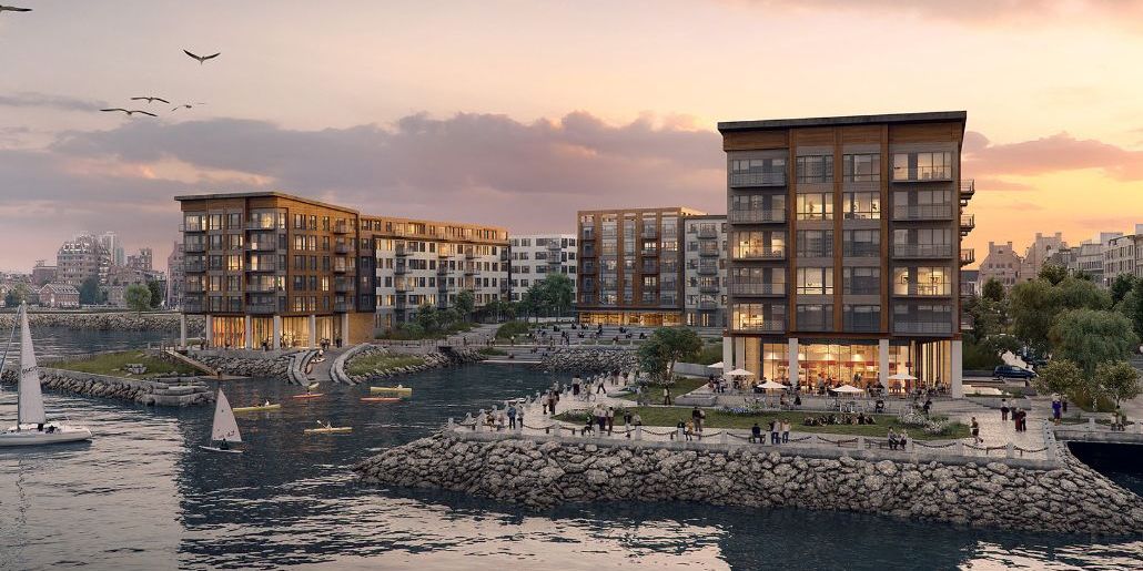
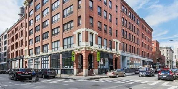
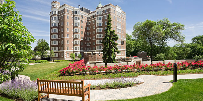
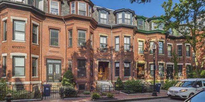
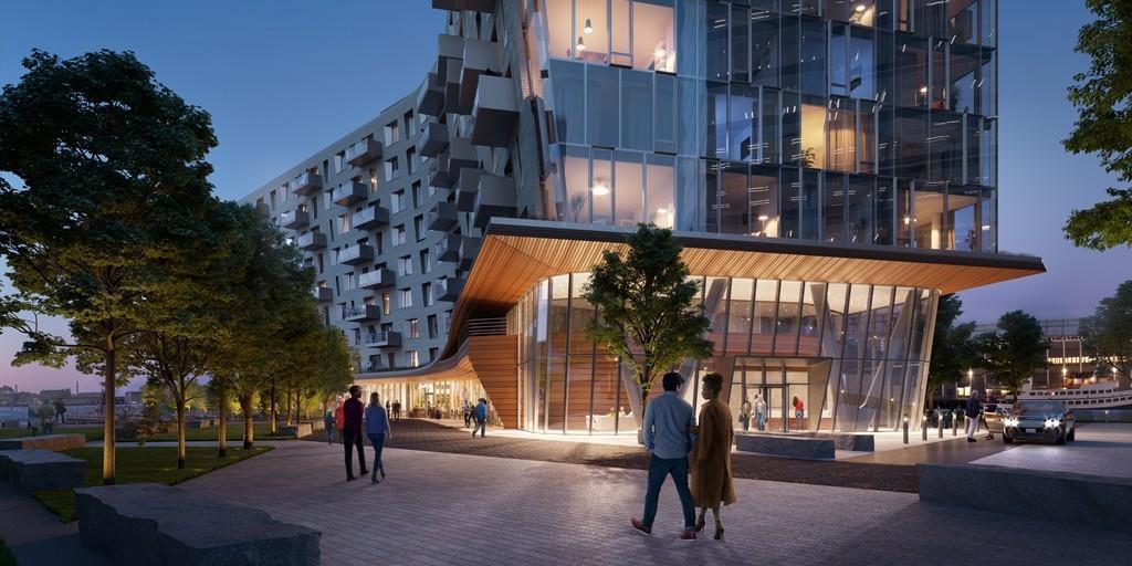
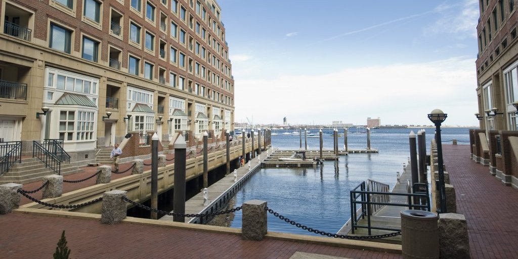
Luxury enclaves. Beacon Hill was developed as a statement neighborhood in the 1790s, built in the Federal architecture of its day. By the mid-1800s, Back Bay supplanted it as the place to be, in the architectural styles popular then. The Seaport can be seen as the successor, with its luxury towers reflecting the preferences of the early 21st century. And the most expensive neighborhoods of Boston are clustered on the Shawmut Peninsula, or Boston Proper.
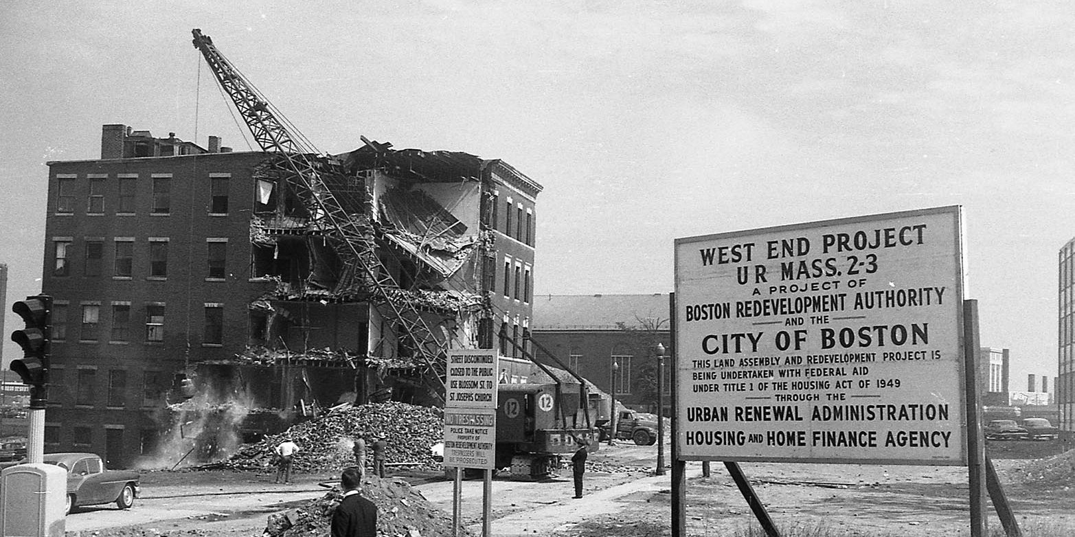
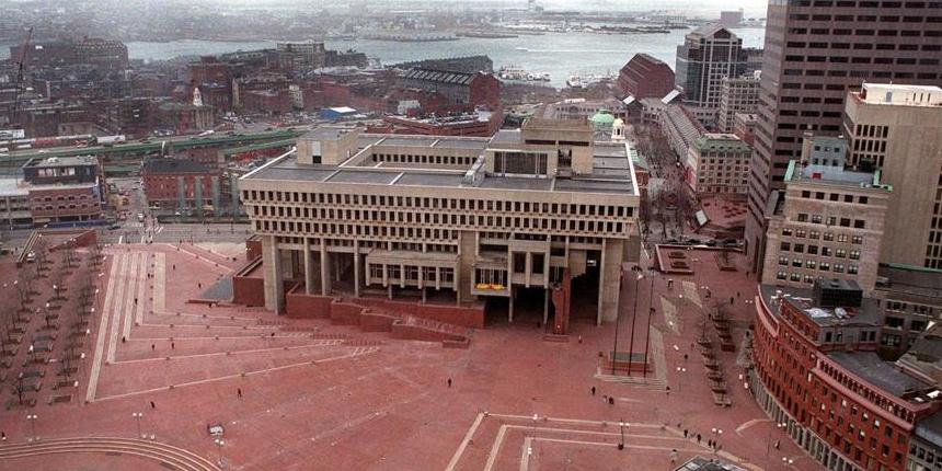
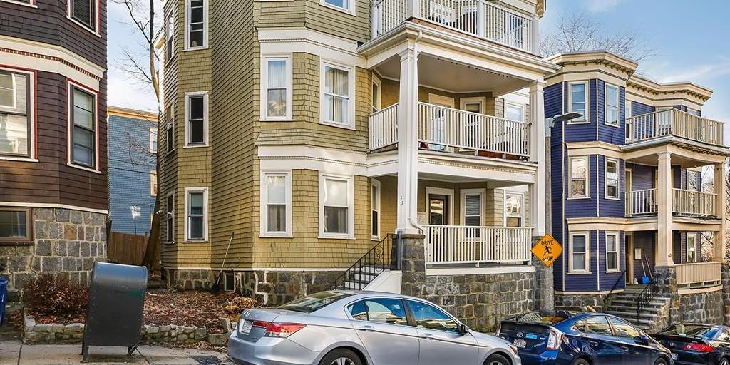
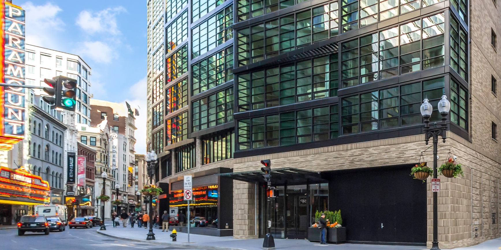
Urban renewal in the 1950s and 60s. The 1950s and 60s were a time of misguided and outright racist urban planning. Unlike major European cities which have thoughtfully preserved most of their architecture heritage and walkability, American planners engaged in a widespread federally-funded program to demolish the pedestrian-oriented historic places in favor of car-centric policies that favored the suburbs. The historic West End and Government Center were almost entirely demolished, and what was intended as showpiece for 'urban renewal' ended up highlighting its failures and shortsightedness. Today, the West End is the lowest-priced neighborhood within Boston Proper.
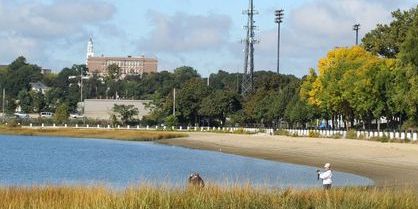
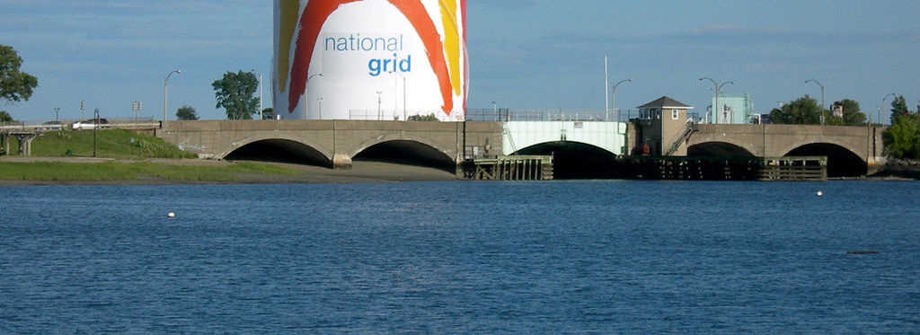
Beach neighborhoods. While most of Boston's waterfront has been developed, there are still a handful of beaches – and by extension, beach neighborhoods – within Boston. The Savin Hill neighborhood in Dorchester has Malibu and Savin beaches, Neponset/Port Norfolk has Tenean Beach, South Boston has Carson Beach, and East Boston has Constitution Beach in Lower Orient Heights
And if you're curious to see how real estate prices in Boston compare to other major U.S. cities, check this out.