Significant public housing
Reports. A new way to find and compare similar neighborhoods.

Display layers

Airplane noise

  • Noise levels (decibels)
    60 dB
    65 dB
    70 dB: defined as 'irritating' level of noise, comparable to a vacuum cleaner or television set at a loud volume.
    75 dB: defined as a constant irritating level of sound, comparable to a busy restaurant.
  • SOURCE: Noise Contour Map (2016) from Federal Aviation Authority.

    NOTE 1: Decibels are a logarithmic, not linear, measurement of noise levels. 70dB is twice as loud as 60dB, and 80 dB is twice as loud as 70dB. At 80dB, there is possible hearing damage over an eight hour exposure.

    NOTE 2: However, the noise contour map does not reflect all the neighborhoods that are affected by airplane noise. Please see our report for a chart of the neighborhoods where the most airplane noise complaints have been made.
  • < Return to map legend

Flood zones

Zoning districts

    Significant public housing


Avon Hill


Cambridgeport


Charlestown

Contains: Navy Yard, Sullivan Square, The Neck
65 Constellation Wharf via Redfin


Chelsea, MA

United States

11 neighborhoods


Mattapan

Contains: Franklin, Lower Mattapan, Mattapan Square, Morton Village, Wellington Hill
Fowler Clark Epstein Farm via Historic Boston.


Mission Hill

Part of: Roxbury
20 Worthington St. via Redfin


North Cambridge


Riverside


Roslindale

Contains: Peter's Hill
3-5 Organ Park via Compass


South Medford


Strawberry Hill

[VERIFY IMAGE GOES WITH NEIGHBORHOOD]


The Port/Area 4


West Somerville

Contains: Teele Square, Walnut Hill


Winter Hill

Significant public housing

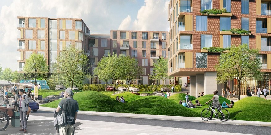
According to a study by the Boston Redevelopment Authority, the city of Boston has the highest concentrations of designated affordable (subsidized) housing among major U.S. cities. Between 19-22% of Boston's housing stock is reserved for low- or moderate-income households. For context, the national average is 5%, and while Chicago and Seattle are 7%, and San Francisco is 8%, Detroit has 15%, St. Louis has 16%, and New York City has 17%.

One third of Boston's affordable housing is within Roxbury and the South End. Within Boston, Roxbury (44.9%) and South End (41%) have the highest concentration of subsidized units, while Back Bay and Beacon Hill (collectively, 5.7%) and Hyde Park (7.2%) have the lowest.

Within Roxbury, the historic section of Lower Roxbury (between Tremont and Harrison avenues, from Mass. Ave. to Melnea Cass Blvd.) was almost entirely demolished during urban renewal and replaced with larger blocks of public housing. It is one of the areas that has suffered from what were perhaps well-intentioned but was ultimately disruptive housing policy decisions.

The first large-scale public housing built within the city of Boston was at Andrew Square in South Boston, and the Columbia Point housing projects in that neighborhood, built upon outdated concepts, have been redeveloped into a model of mixed-income housing now known as Harbor Point.

The public housing maps have been included in order to offer a data point for analysis to see how housing policy can be informed by a spirit of equity, diversity, and social justice. It is important to understand how public housing locations can affect employment and educational opportunities, access to healthy food and banking, and access to transit and time spent commuting. Including public housing as a data set on the NeighborhoodX maps enables planners and activists to begin to identify food deserts, areas under-served by bank branches, commute times, and to look into the critical issue of how low-income areas tend to also be places with more environmental issues.