Most affordable neighborhoods
Reports. A new way to find and compare similar neighborhoods.

Display layers

Airplane noise

  • Noise levels (decibels)
    60 dB
    65 dB
    70 dB: defined as 'irritating' level of noise, comparable to a vacuum cleaner or television set at a loud volume.
    75 dB: defined as a constant irritating level of sound, comparable to a busy restaurant.
  • SOURCE: Noise Contour Map (2016) from Federal Aviation Authority.

    NOTE 1: Decibels are a logarithmic, not linear, measurement of noise levels. 70dB is twice as loud as 60dB, and 80 dB is twice as loud as 70dB. At 80dB, there is possible hearing damage over an eight hour exposure.

    NOTE 2: However, the noise contour map does not reflect all the neighborhoods that are affected by airplane noise. Please see our report for a chart of the neighborhoods where the most airplane noise complaints have been made.
  • < Return to map legend

Flood zones

Zoning districts

    Most affordable neighborhoods


Codman Square

Part of: Dorchester
Image via Codman Squared


Fields Corner

Contains: Melville Park
Part of: Dorchester
38 Melville Ave. via Realtor


Hyde Park

Contains: Fairmount Hill, Readville
1825-1827 River St. via Redfin


Mattapan

Contains: Franklin, Lower Mattapan, Mattapan Square, Morton Village, Wellington Hill
Fowler Clark Epstein Farm via Historic Boston.


Meeting House Hill

Part of: Dorchester
Image via Dorchester Athenaeum


Mt. Bowdoin

Contains: Four Corners
Part of: Dorchester
Mary Mallon mansion, since demolished


Roslindale

Contains: Peter's Hill
3-5 Organ Park via Compass


Roxbury

Contains: Fort Hill, Grove Hall, Lower Roxbury, Mission Hill, Parker Hill
64 Bartlett St. via Coldwell Banker


Upham's Corner

Contains: Jones Hill
Part of: Dorchester
54 Monadnock St. via Zillow

The most affordable neighborhoods within Boston

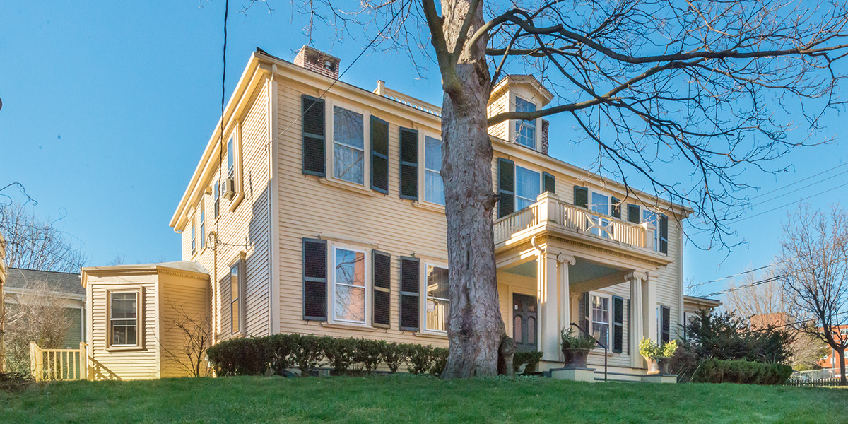
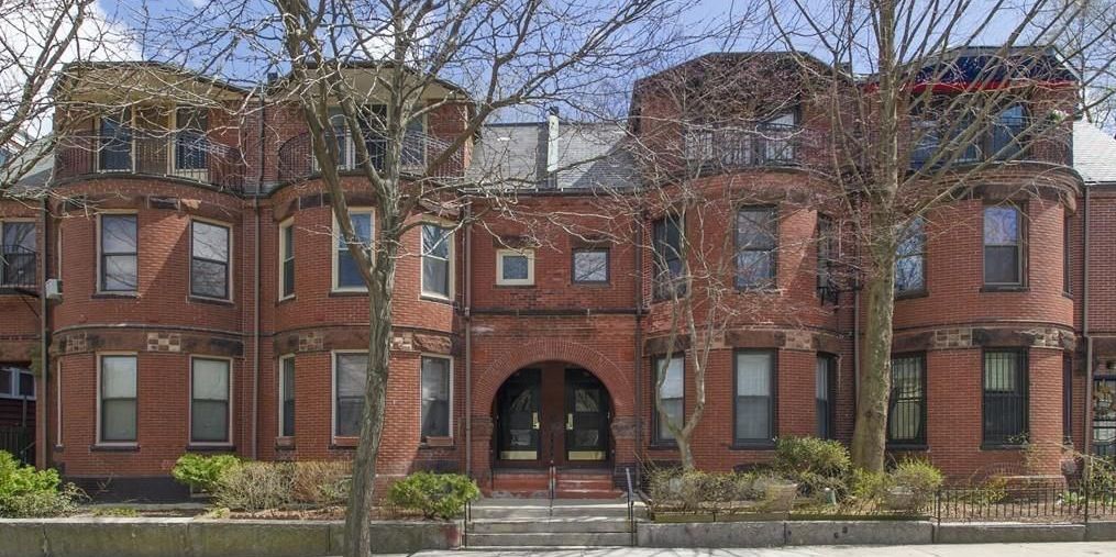
Metrics matter. There are two ways to calculate 'the most affordable neighborhoods' in Boston. One is by the average asking price – basically, if one neighborhood averages $350,000 but another is just $250,000. The other approach is measuring the average price per square foot.

Why does this matter? The first approach doesn't take into account the different types of housing product. For example, while two neighborhoods may both have an average asking price of $300,000, in one neighborhood that may buy a 1,000sq.ft. house ($300/sq.ft.), but only a 600sq.ft. condo ($500/sq.ft.) in the other. In order to give a meaningful comparison of the price of a built square foot across neighborhoods, the preferred metric at NeighborhoodX is price per square foot.

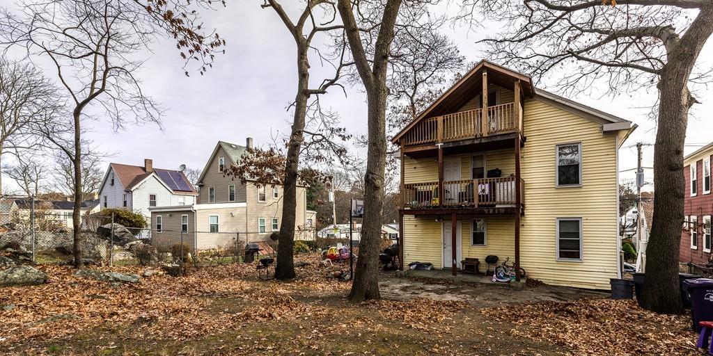
Within the city of Boston, the most affordable neighborhoods on a per-square-foot basis are, as of our February 2018 analysis, Mattapan ($241/sq.ft.), Codman Square (a subsection of Dorchester, at $257/sq.ft.), Hyde Park ($292/sq.ft.), Fields Corner ($323/sq.ft.), and Roslindale ($331/sq.ft.).

It is worth mentioning Chestnut Hill here, which is a neighborhood that spans Boston, Brookline, and Newton. On a per-square-foot basis, it is also among the most expensive in greater Boston.

We're going to math you out for a moment longer. One of the reasons that our charts look different than most other marker reports is that we report not just the average price per square foot, but also the price range within the neighborhood to identify the most and least expensive properties on a price/sq.ft. basis. Why? Let's imagine two neighborhoods with the same average price of $1,000 per square foot. One might have a tight range of $900-$1,100, while the other ranges broadly from $600-2,000 per square foot. This suggests very different housing types and market conditions. As a result, the price ranges add context that would be hidden if we just looked at the average by itself.

Our analysis excludes foreclosures, short sales, and development sites. Our analysis focuses on market rate properties that qualify for conventional mortgages. As a result, it excludes foreclosures, short sales, properties in need of significant rehabilitation or positioned primarily as development sites. Our goal is to provide a clean data set that gives a sense of how the price of a finished square foot of space can vary across neighborhoods.